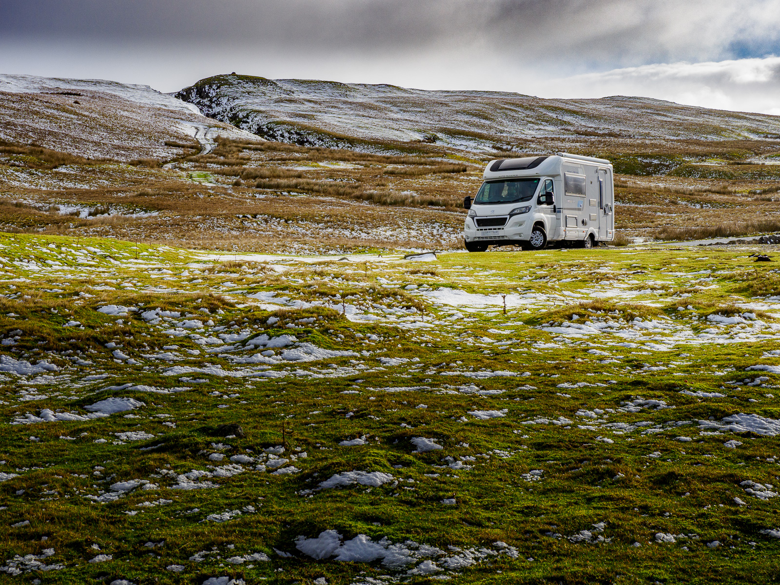


Our original plan for the weekend, was to travel to Waterfoot Park Touring Site, Pooley Bridge on Friday afternoon, but Storm Eunice was forecast as being at its height at that time, and the prospect of driving over Shap Fell in a motorhome would have not been sensible. We therefore made the journey on Saturday morning and arrived amidst benign, warm and sunny weather. We joined a meet of the Caravan and Camping Club, Lakeland District Association, being held just prior to the site being fully opened for the season. Many thanks to Andy and Shirley for the warm welcome.
Pooley Bridge

The village of Pooley Bridge lies at the end of Ullswater, the second largest lake in the Lake District. It is a small, but pretty village with a few retailers, three pubs and a church. A settlement was first documented here in the year 1252, when it was known as “Pool Hey”.


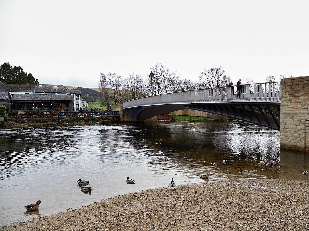
The bridge which gives the village its name, crosses the River Eamont, which flows out of Ullswater around 200 yards upstream of the village. The original three arch stone bridge, built in 1764, was washed away as a result of Storm Desmond, on the 6th December 2015.
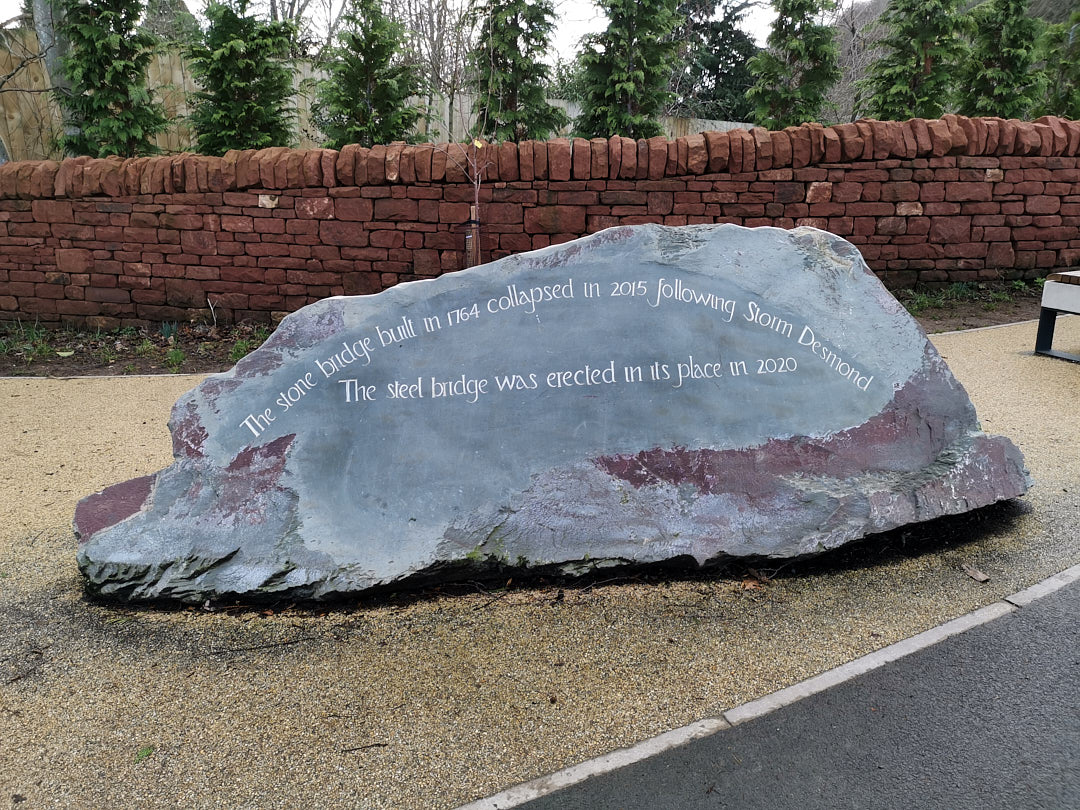
Initially replaced by a temporary bridge, it has now been replaced by a 39 metre stainless steel bridge, which was craned into place and opened in October 2020. It was heralded as the first structure of its kind in the country.
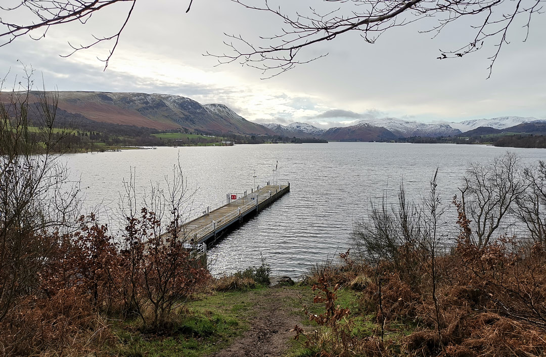
You can take a cruise from the village on the Ullswater steamer, which calls regularly at the pier and at a number of other places around the lake. We saw the steamer distantly on Saturday, but on the Sunday, all sailings were cancelled due to the high winds.
Ullswater and the River Eamont
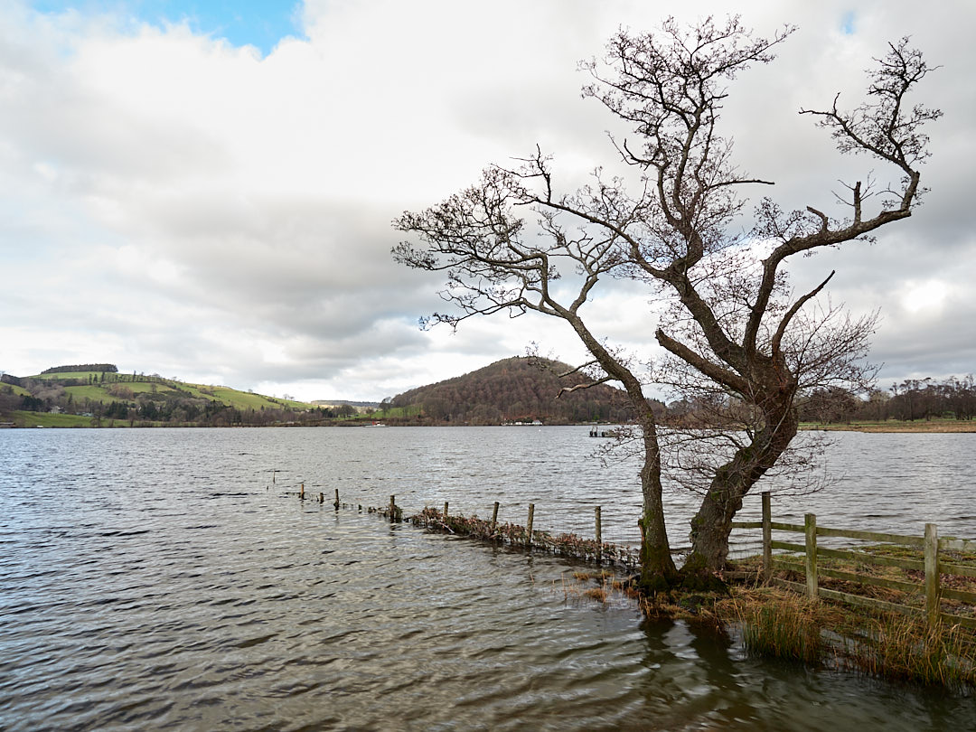
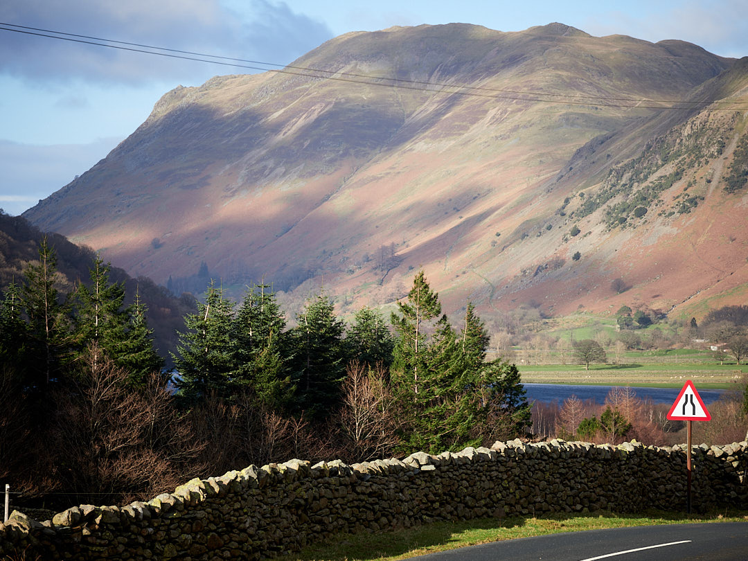
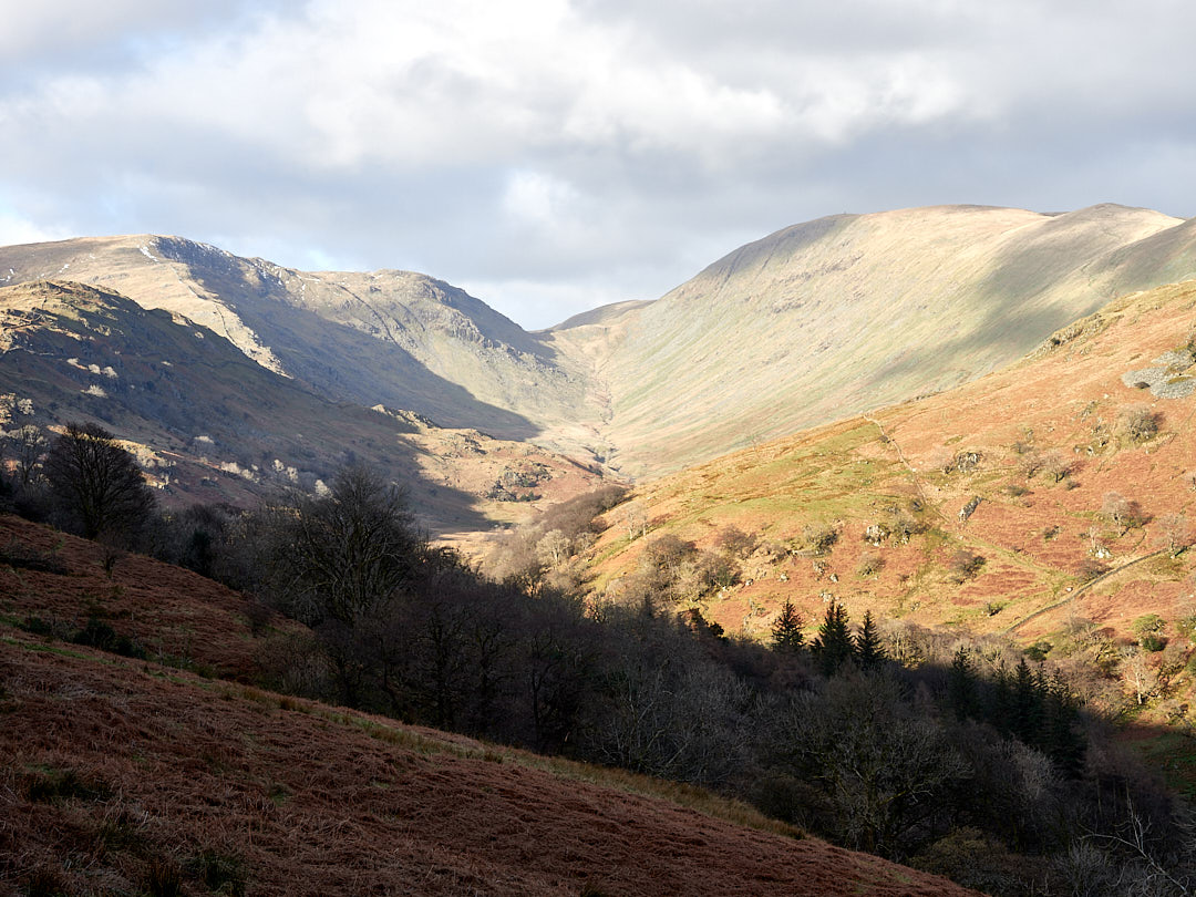
We enjoyed a pleasant walk on Saturday afternoon, along the eastern shore of the lake.
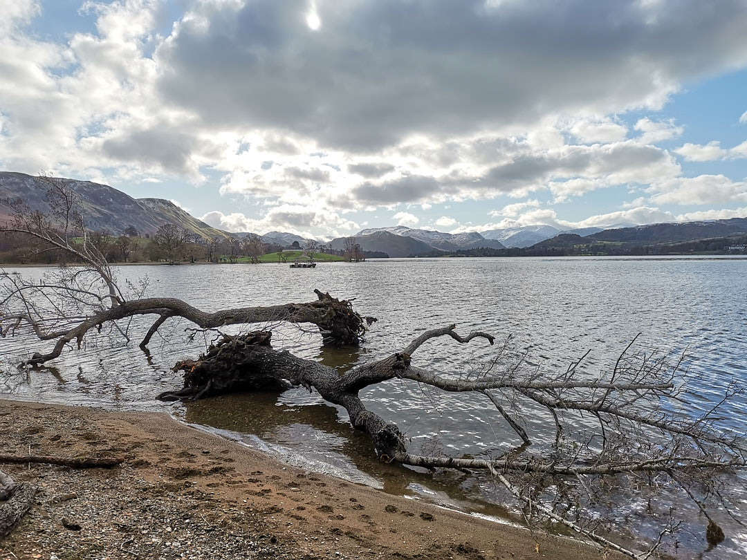

The wind had dropped and Storm Eunice had left snow on the peaks of distant mountains including distant Helvellyn.

On the lake shore path, there is a memorial to Thomas Clarkson, a leading anti slavery campaigner, who lived in Pooley Bridge for 10 years. In 1787 he helped establish the Society for the abolition of the Slave Trade. The plaque recreates the society’s emblem.


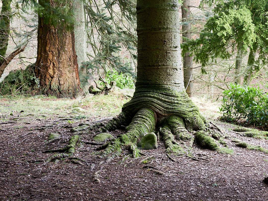
We also walked downstream along the riverbank, returning to Waterfoot Park on paths around the back of Dunmallard Hill, on top of which is an iron age hill fort, which would have commanded good views of the surrounding countryside. The hill is now covered with trees, providing a haven for red squirrels and roe deer.


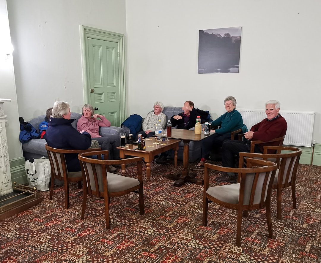
On Saturday evening we joined our fellow club members for a social evening in the Waterfoot Mansion, which was very pleasant.
Overnight, the weather changed again with high winds and torential rain from late Saturday evening, thoroughout the day on Sunday. This caused local flooding, especially as the ground was already saturated from the previous storms passing through.
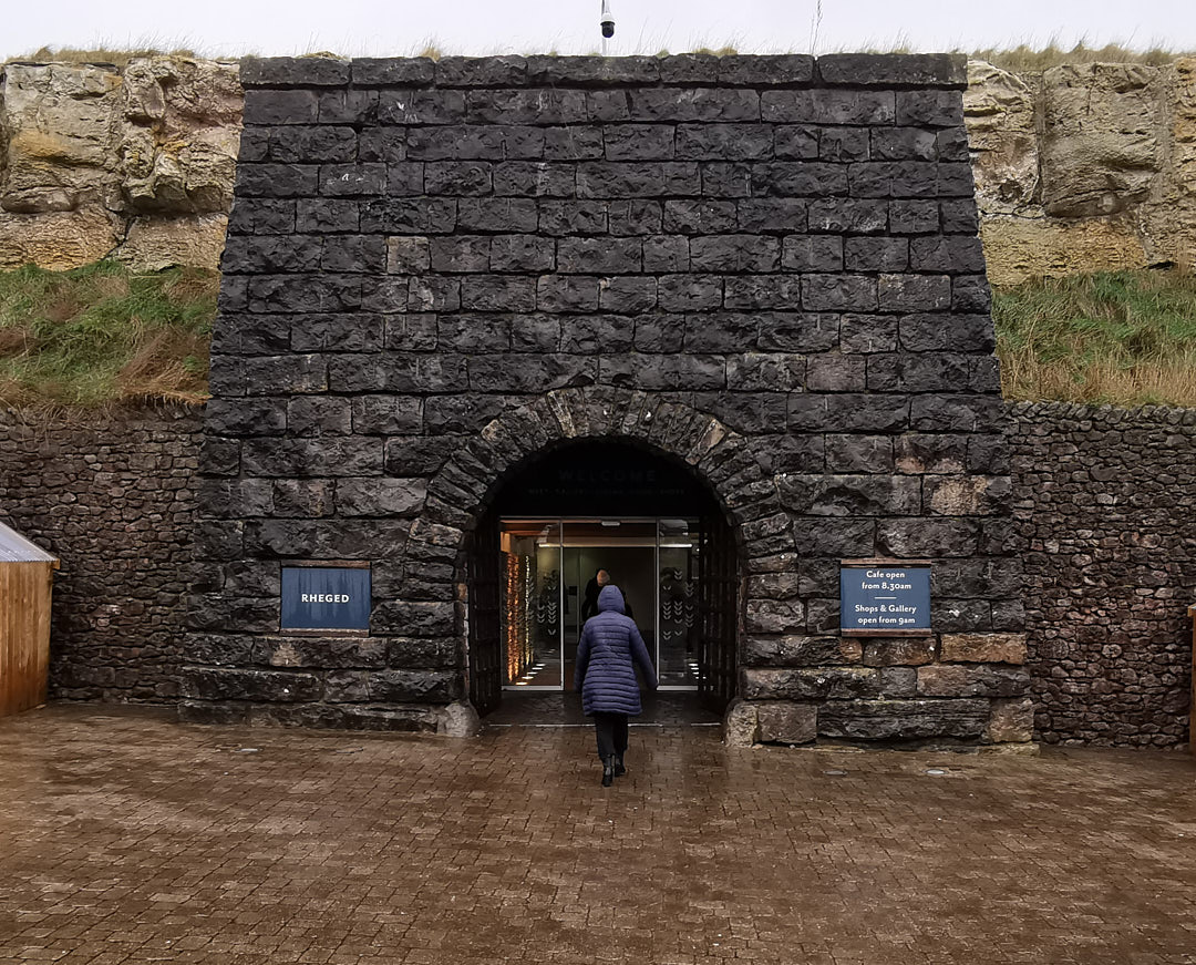
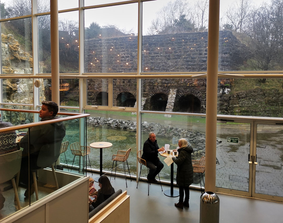
Given the state of the weather which discouraged outdoor exploration, we visited what is described as a “discovery centre”, called “Rheged” which houses a cinema, print gallery and shops, with much of the impressive building hidden apparently underground or within the confines of an old quarry.


The stormy weather lasted throughout Sunday night, with Storm Franklin passing through. We were woken at around 4am with howling wind rocking the motorhome, thunder and lightning and hail landing on the roof. As darkness fell the night before, we had noticed a large pool growing at the lower end of the camping ground and with the continued heavy rainfall were worried that we would wake to be marooned or a tree would be blown over onto us. Not a very restful night, your imagination runs wild in the dark.
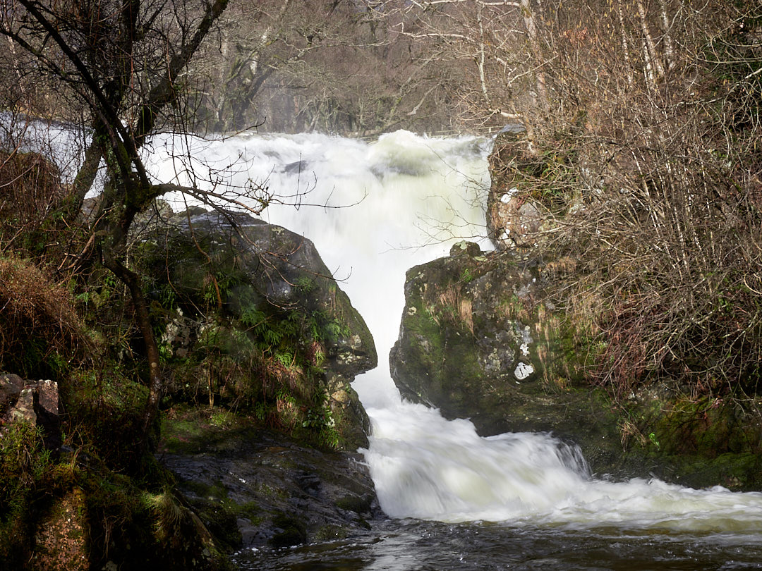
Aira Force
We awoke quite late on Monday to a fine morning. All our fears had proved groundless and although the pool at the end of the camping ground was larger, it was still nowhere near us.
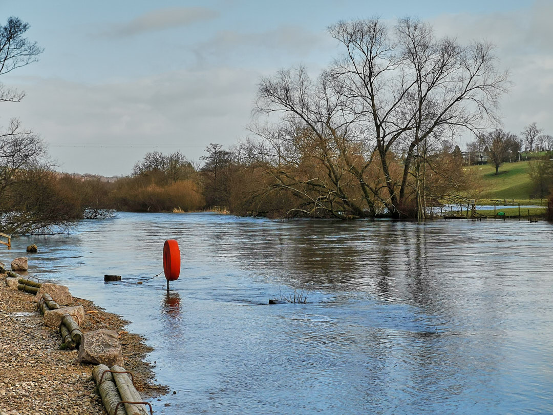
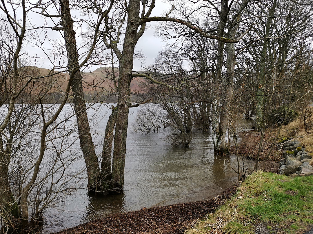
We learned from the news that flooding had been widespread across the north of England. The river Eamont at Pooley Bridge was very high, but just about contained within its banks. We believe there was flooding further downstream.
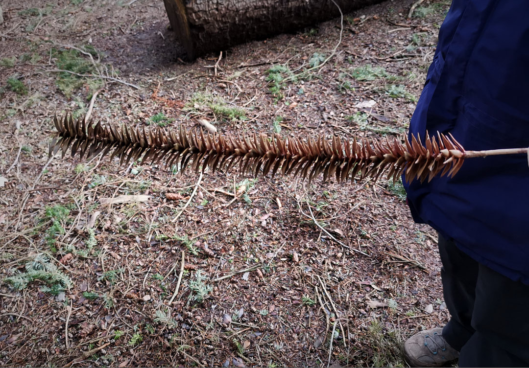
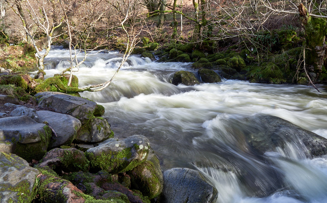
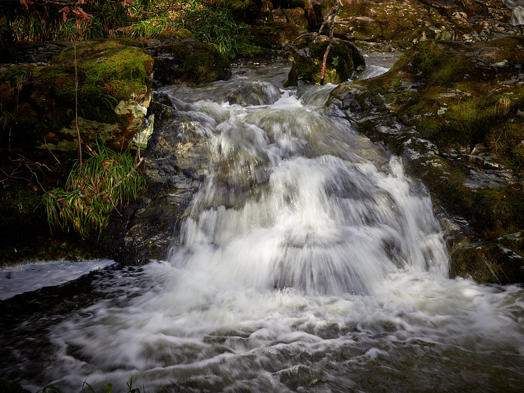
Given the amount of recent precipitation and expectation of streams in full spate, we decided to vist Aira Force, a couple of miles away on Ullswater’s northern shore. On the way up to the falls, Alison found a tickling stick.
The waterfalls are on land belonging the the National Trust, who maintain the paths on both banks of Aira Beck. Although some paths were closed due to water erosion from the recent storms, we were treated to many very dramatic views.
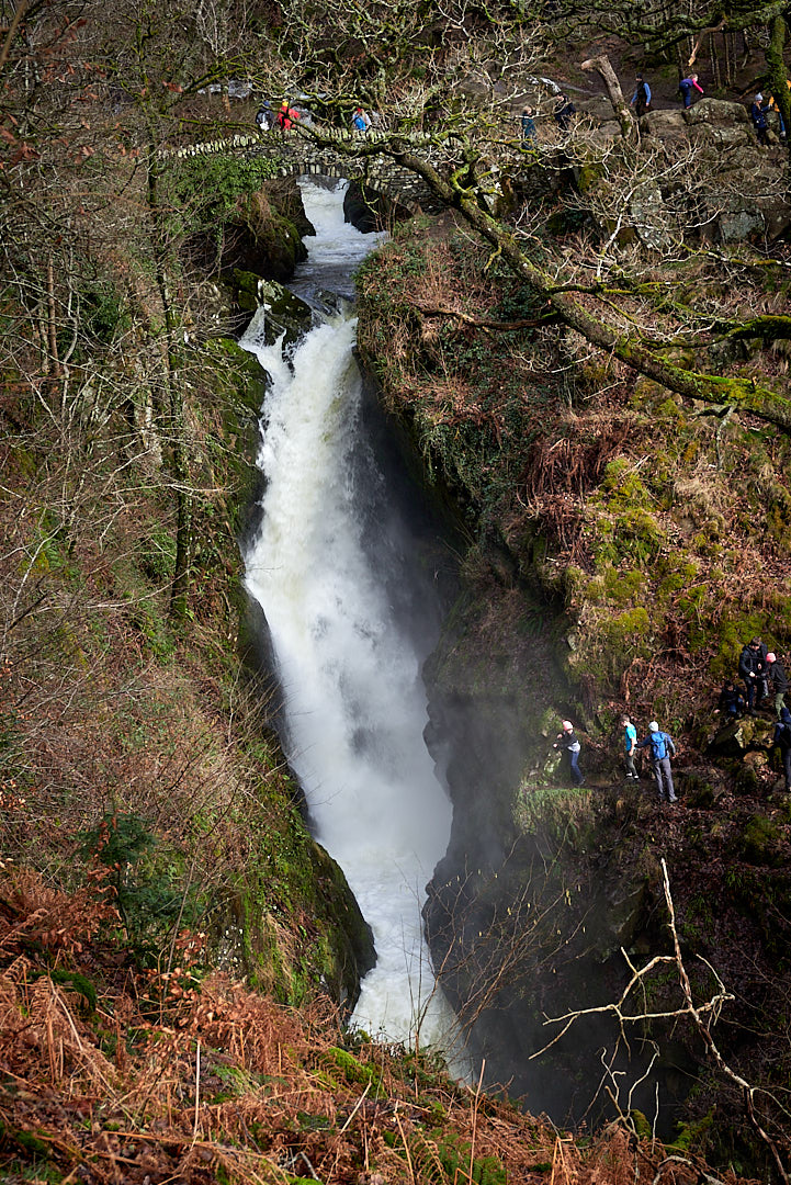
The paths and landscape of Aira Force are a creation of a wealthy Victorian family, the Howards of Greystoke who were the landowners in the 18th and 19th centuries.
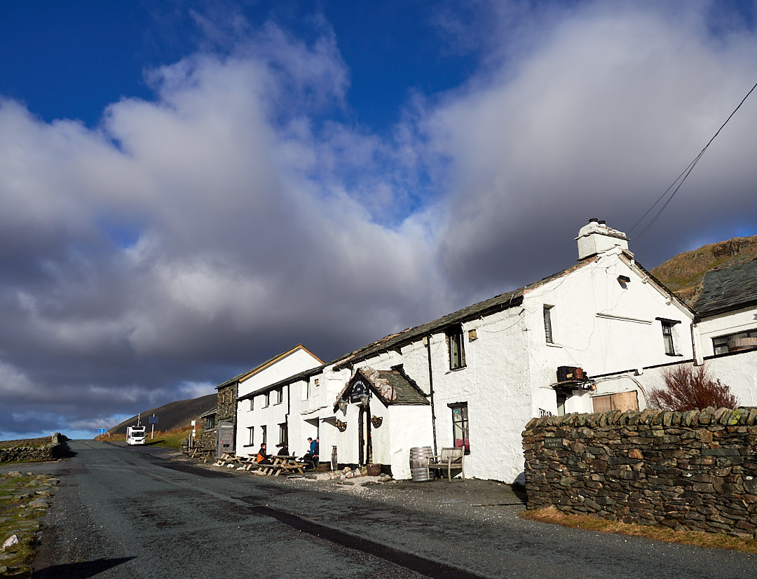
We returned home via Kirkstone pass, over to Windermere.

One Reply to “”