
Friday 24th – Saturday 25th May 2024
We stayed on the Atlantic coast of Brittany for a couple of days and found a rugged coastal landscape and wonderful secluded beaches, lighthouses, defensive castles and WW2 German fortifications. We also ran into a real mixture of weather, with bright and sunny periods, intermixed with thunderstorms and torrential rain.
Friday: Le Conquet
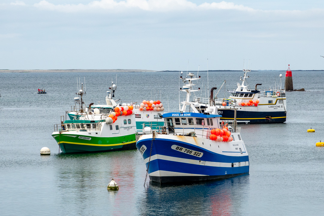
The very pretty town of Le Conquet lies to the south of an estuary, which provides a sheltered harbour for fishing vessels and ferry departures to the nearby islands; The Île De Quessant, Île De Molêne and Île De Sein. It is the westernmost town in mainland France. We first visited the headland on the northern side of the estuary, which has three forts and a lighthouse:

The first fort we came across, inland at the start of the peninsula, was not accessible and had been closed on the order of the mayor, on the 19th December 2001. I was able to see through the gate a little, but not much to be seen.

At the far end of the peninsula on the south, is a lighthouse and fort. We drove down as far as the road allowed, to a car park. Beyond that the road continues, but is not open to traffic, so we walked. Along the way, we found a menhir (or neolithic standing stone), one of many in the Brittany area:

You can ascend the lighthouse for a small charge, but we chose not to do so. It is an impressive structure, painted white on the seaward sides.
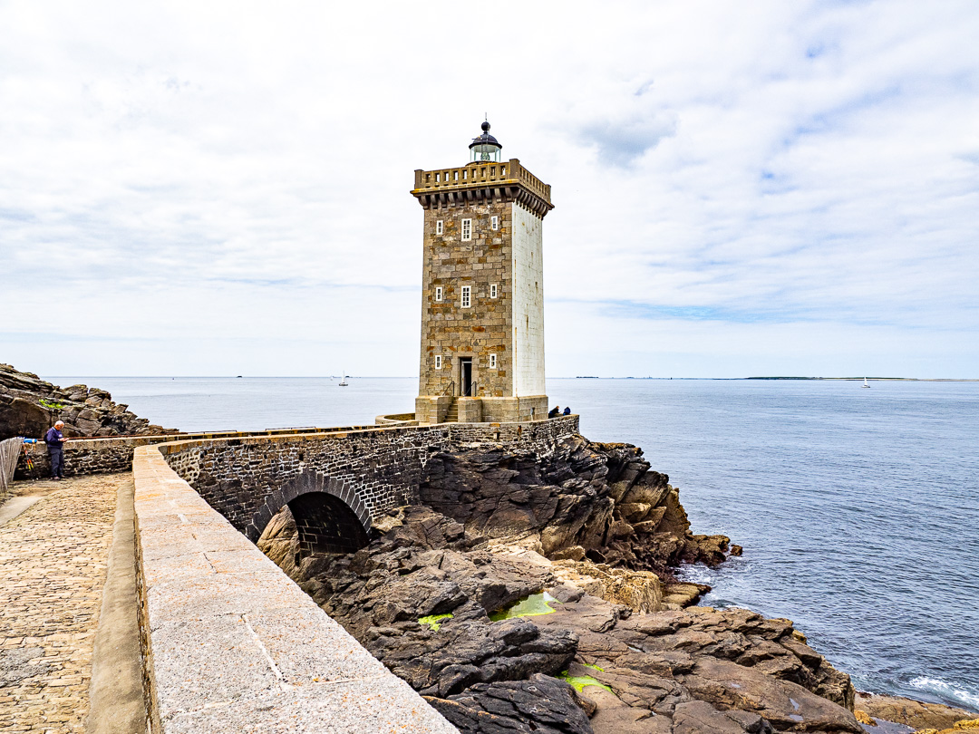

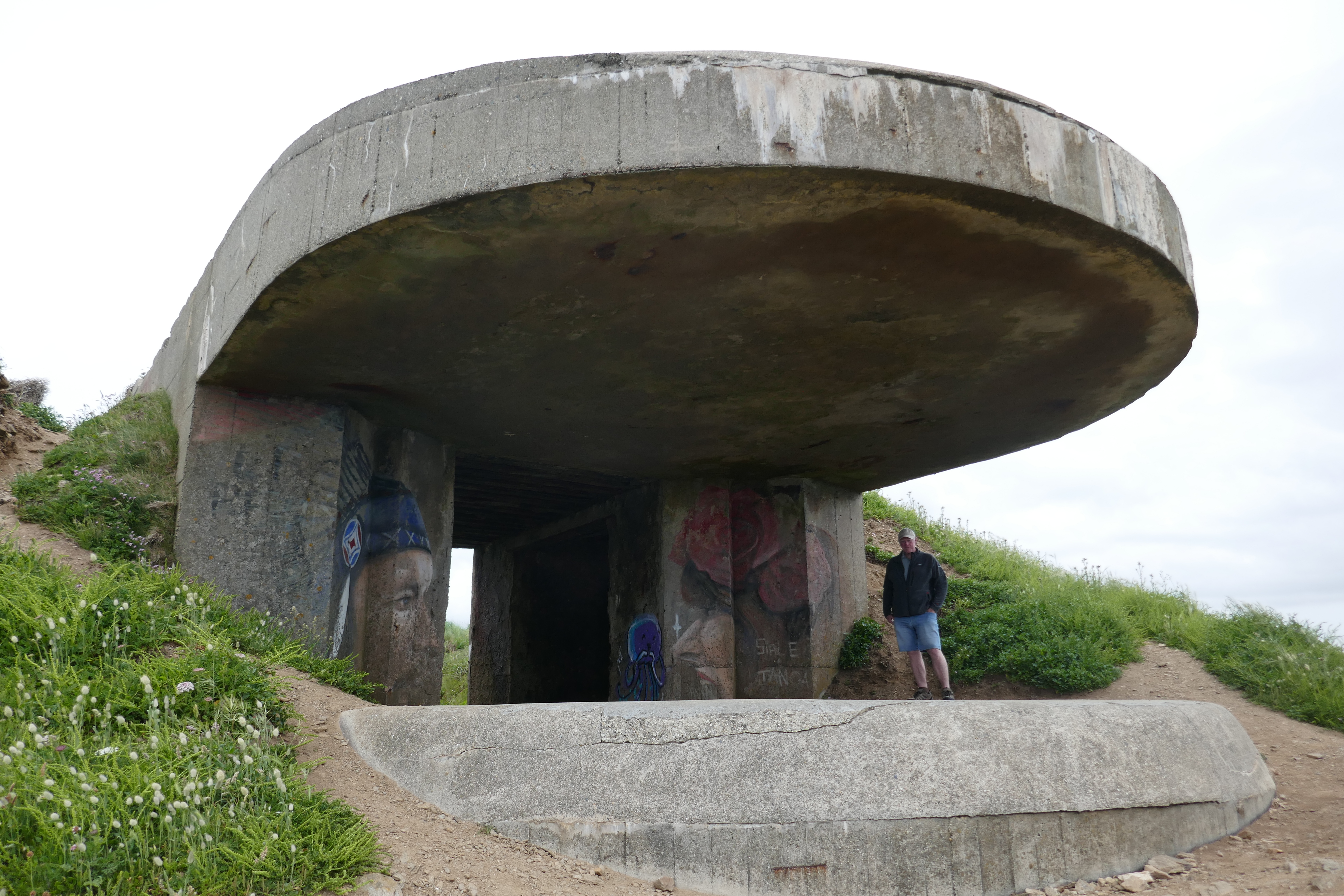
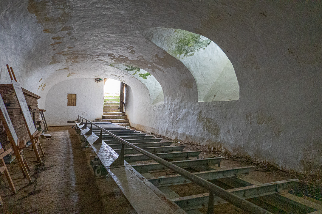
The fort is a simple square structure, built in 1846, immediately to the landward side of the lighthouse. In the image below, you can see the additional concrete fortifications added by the German army.

Walking north along the coastal path, we came across a fresh water pool, which is fed by a spring at the base of the cliff. I am not sure of its purpose.

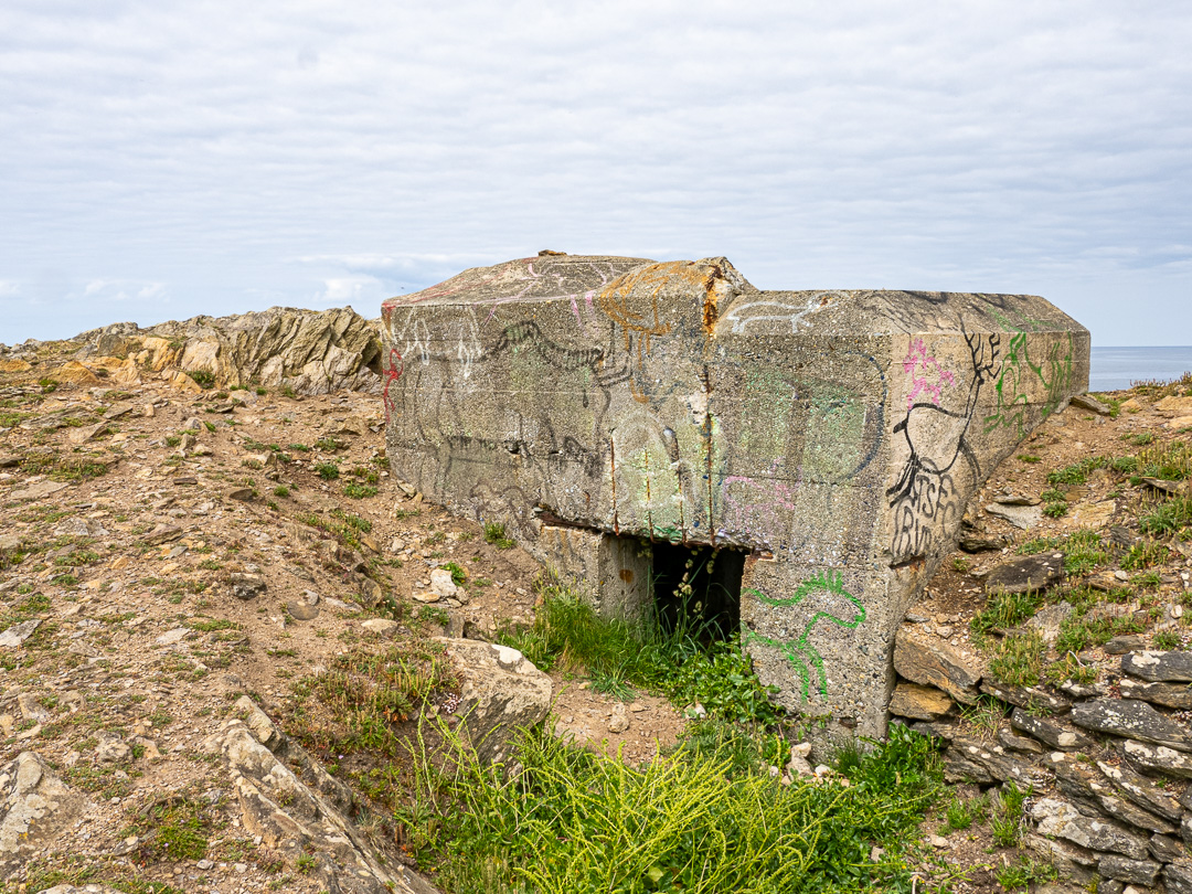
There was also a German bunker a little further on:
On the northern point of the peninsula, there is another fort, “Fort de L’Ilette”, this time on an off-shore tidal island:


The walk back gave us some fine views over the beach to the north, named Plage des Blancs Sablons (Breton for Beach of white sands?):

…and as we returned to Fufu, a view over the harbour to the town of Le Conquet and one of its remarkable buildings:

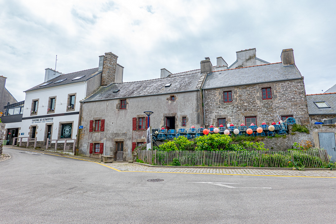
The town itself is well worth a visit. Here is the Maison des Seigneurs from the town side of the estuary:


The Creperie appears to have a strange guest “living” next door! :


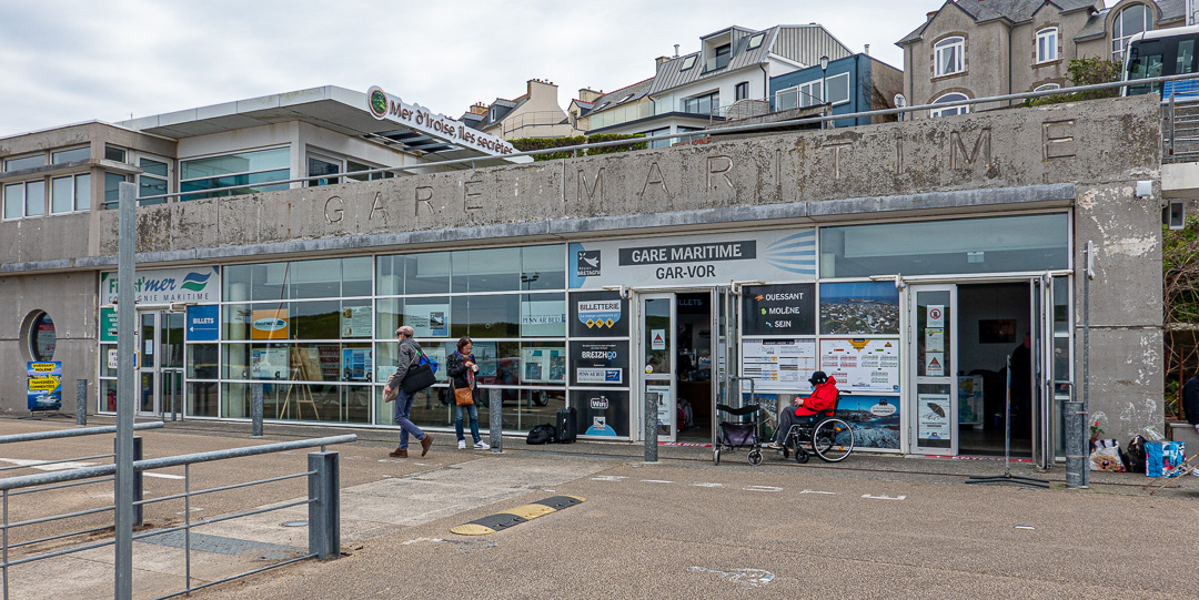
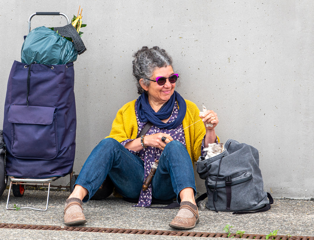
As mentioned above, the harbour is also a ferry terminal.

When we were there, a number of passengers were waiting to board having purchased their tickets in the “Gare Maritime”. The woman waiting below was passing the time, hand spinning woollen yarn.


Friday: Trezien
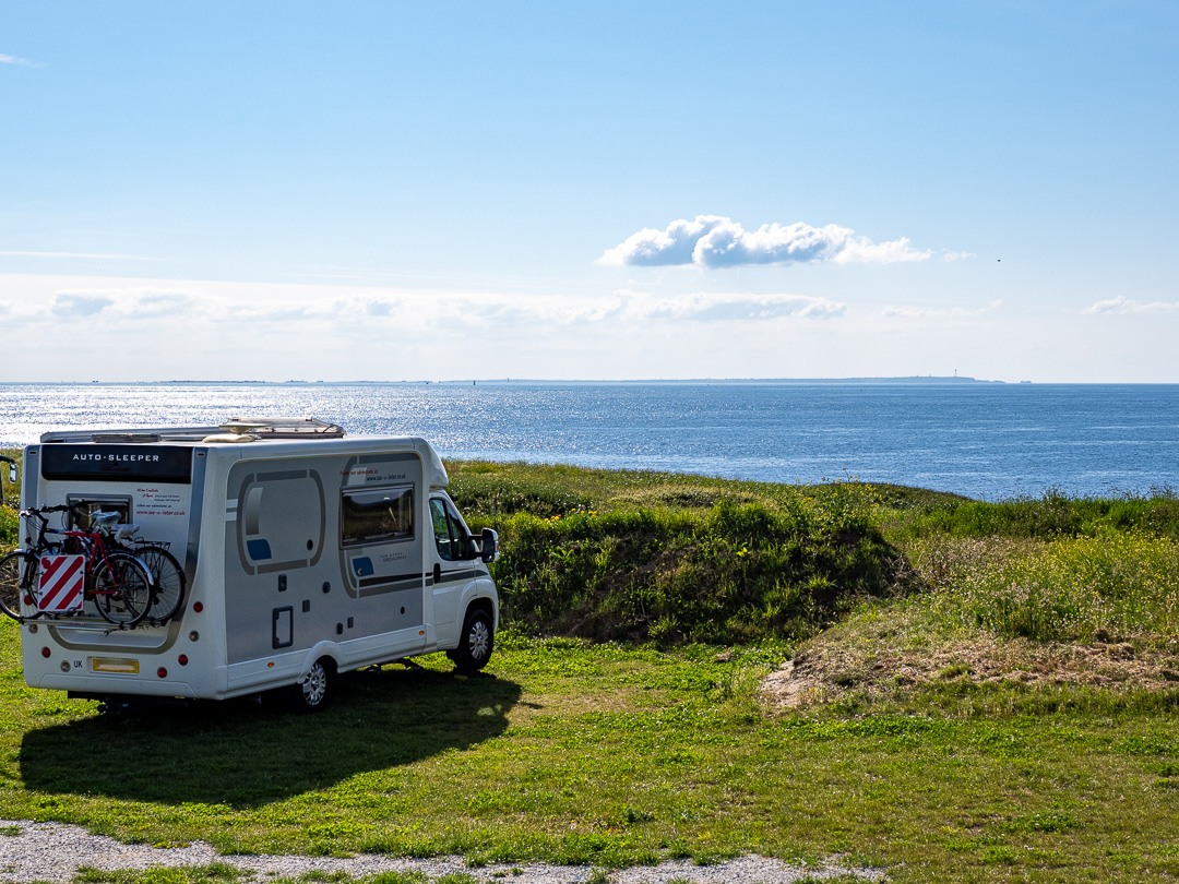
We stayed overnight on an aire at Trezien which overlooked the sea:
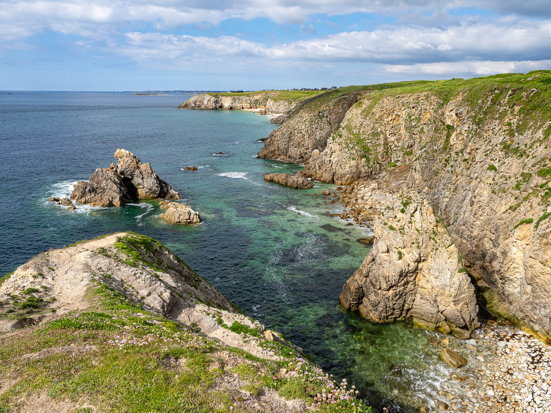
Before nightfall, we enjoyed a walk along the cliff-top path which appears to stretch for miles, with beautiful beaches along the way:

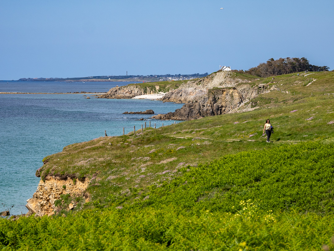
We took the path to the south, which passed a couple of very nice beaches. The first beach, with no apparent access, is apparently for naturists. The only way down that we could see, seemed very steep and hazardous. I hope they did not need to slide down on their bums…
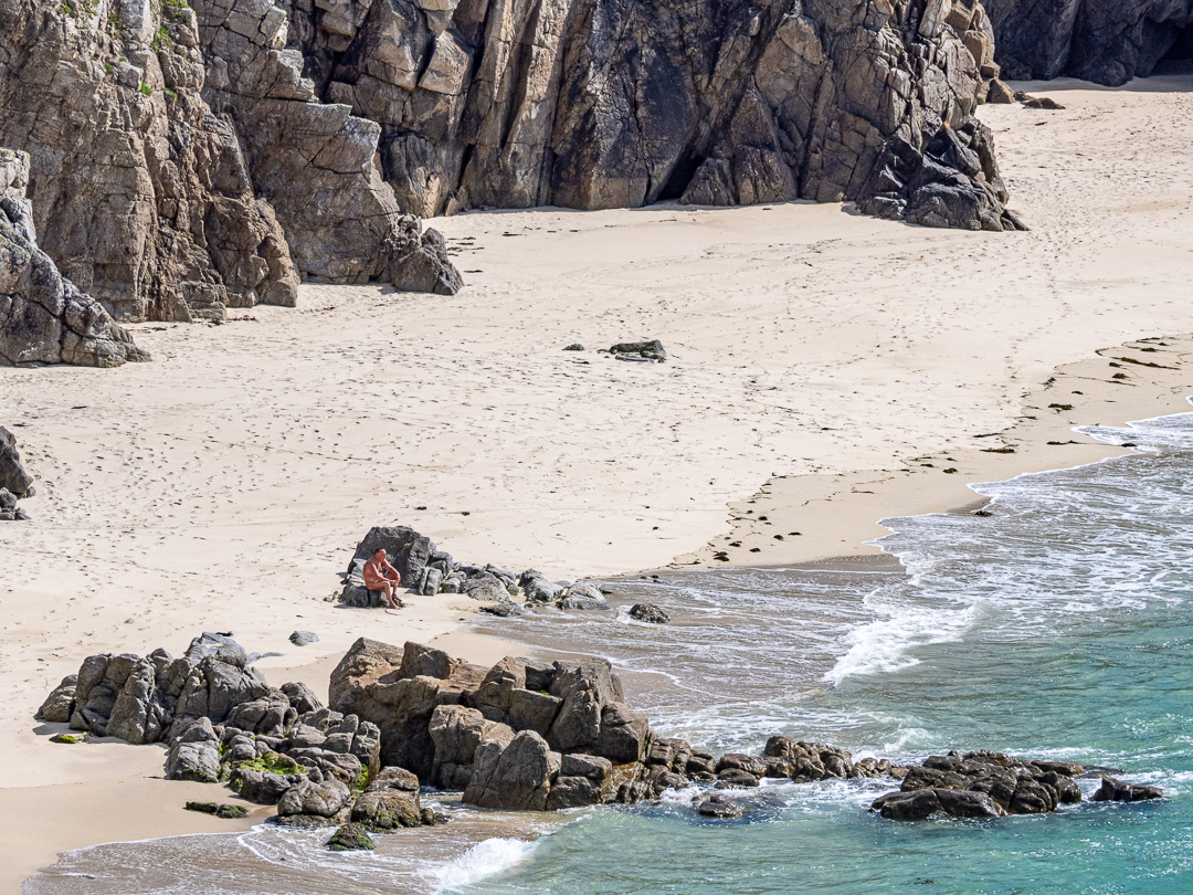
…and the second, with steep but well maintained steps down to it, was more family oriented:

The path eventually led us to the Pointe de Corsen, which is the Westernmost point in mainland France, where we learned that we were just 475 km from London.


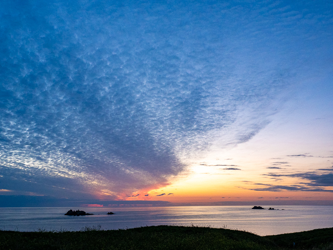
That evening, we enjoyed a really nice sunset:
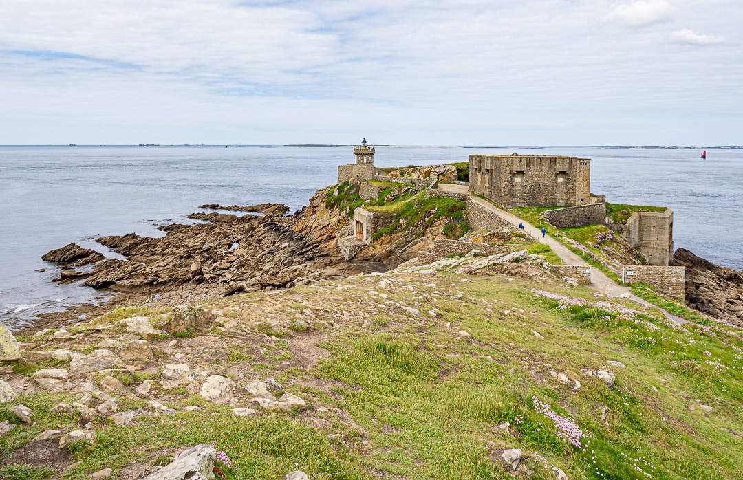
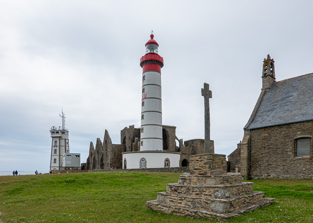
Saturday: Pointe Saint-Mathieu
Pointe Saint-Mathieu is the next bit of land that sticks out below Le Conquet. There are the ruins of a medieval monastery there, with a lighthouse built right in the middle of them.

We were unable to park just near to the lighthouse, but found our pitch for the night a little further along the coast having turned right, directly opposite the Graf Spee Battery Fire Control Post, (now a museum):

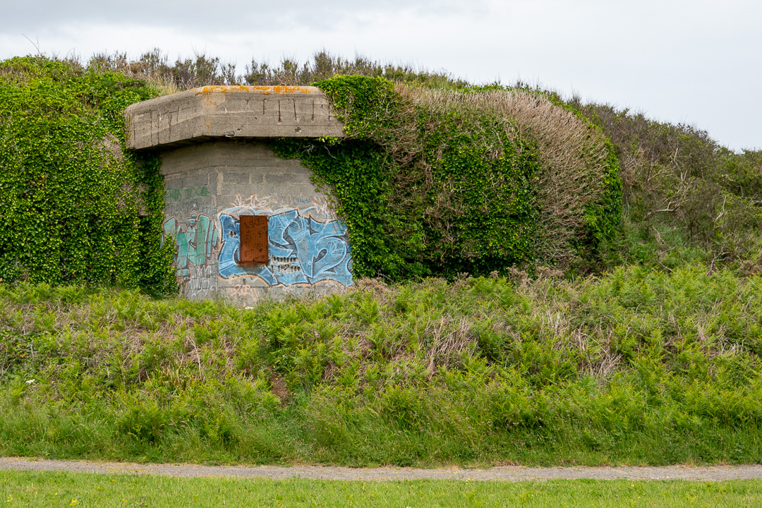
Having parked Fufu, we walked back to the coastal path and emerged on the path, just next to more German defences, the “Battery Holtzendorf”.

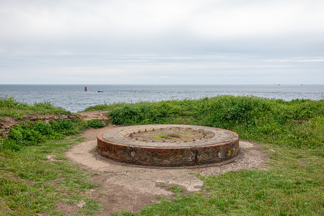
As we walked towards the point, there were yet more German defences in the shape of a gun emplacement:

There were further German defences when we reached the abbey:

Apparently the monks were the first to build a lighthouse on the site and had an agreement that they would have a share of any salvage resulting from shipwrecks, which sounds like a clear conflict of interest.
There is small stone-built chapel next to the abbey which is still in use and is quite charming. A real contrast to the churches we have been visiting on this trip.


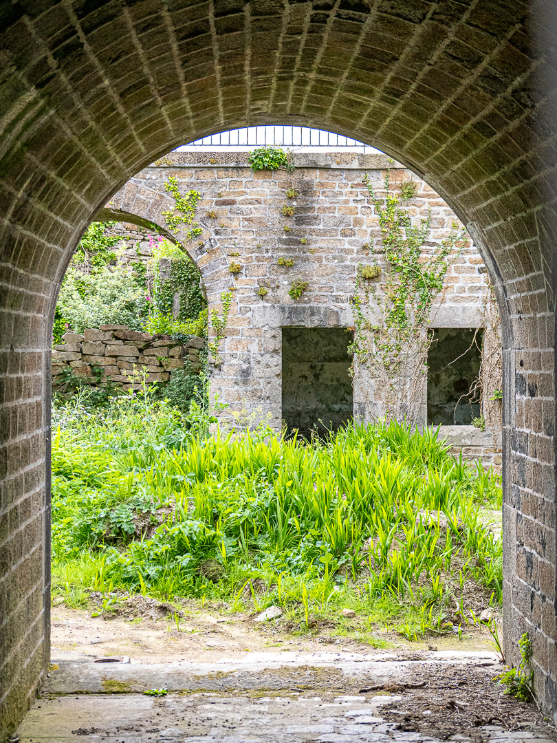
Outside, there is a medieval arched gateway which stands alone:

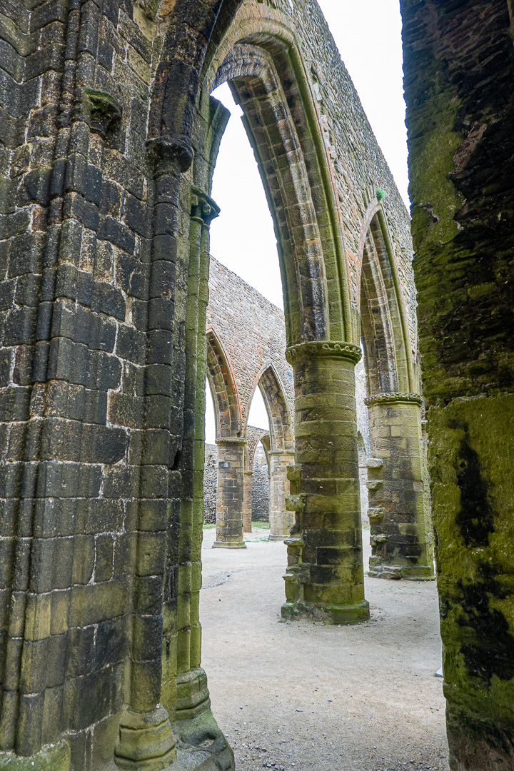
There is not much left of the abbey buildings, but the abbey church is quite impressive:


There is still an underground wine cellar, though:
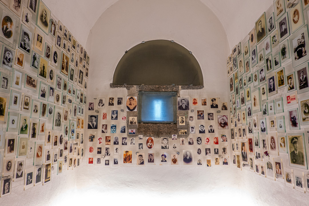
About 100 yards along from the abbey, is the French National Cenotaph for sailors lost in defence of France. It is a converted fort, with a monument outside.
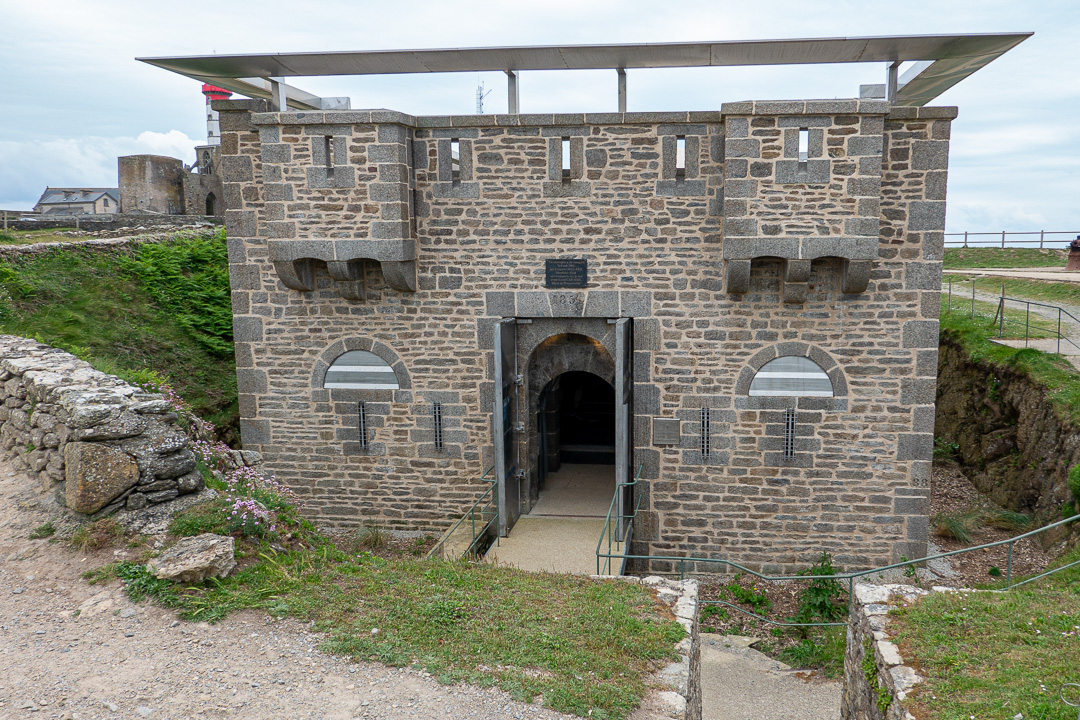


You are able to enter the fort and there are photographs of the sailors around the walls in several different rooms, which is very moving:
Looking out to sea after visiting the cenotaph, we saw a school of porpoises swimming by:

…and on our return walk along the cliff top path, we wondered why many parts of the cliff had been built-up with dry-stone walling.
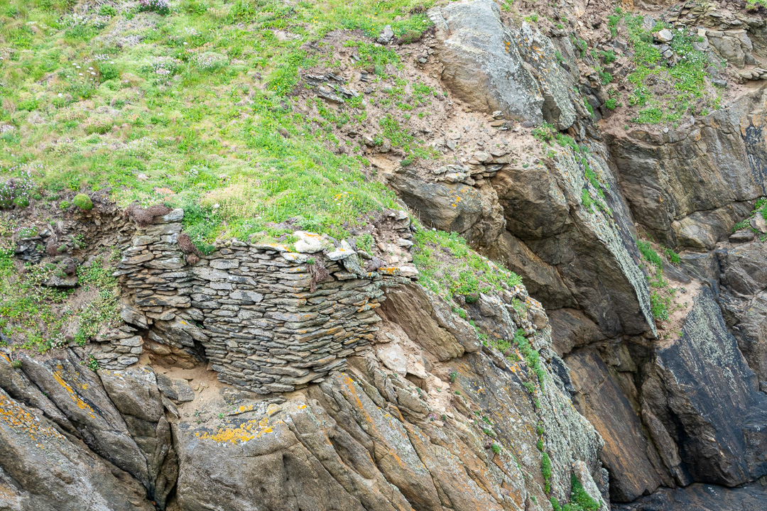
An information board further along explains that this is to assist in the harvesting of seaweed, which was collected and burned, for use as a fertiliser. A uniform cliff-edge supported the hoist used for raising the seaweed from where it was cut, at the base of the cliff.
