

28th – 30th May 2023
Over the remainder of the bank holiday weekend, we explored the local area further, on foot using some of the many (mostly) well-marked pathways.
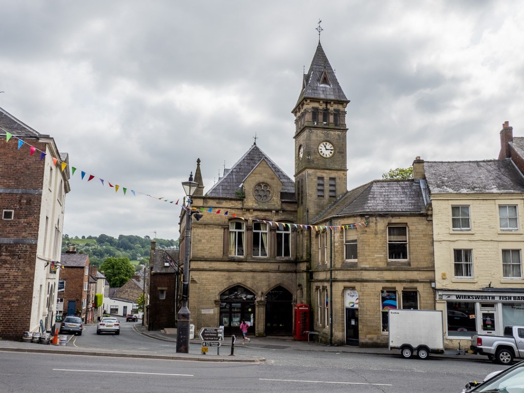
Wirksworth
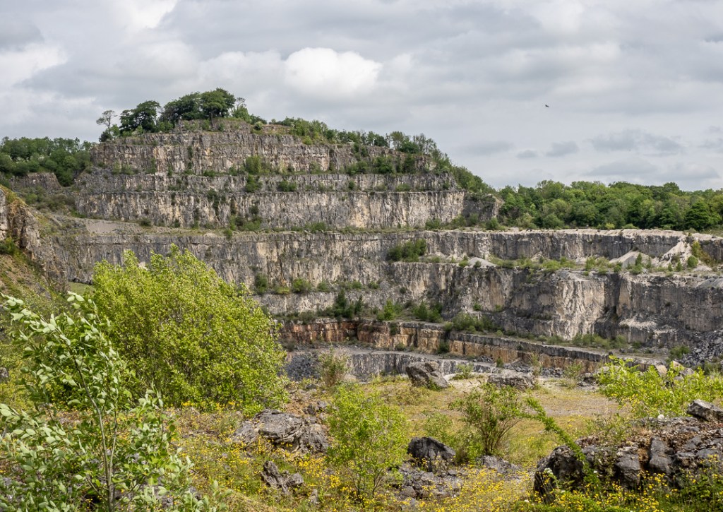
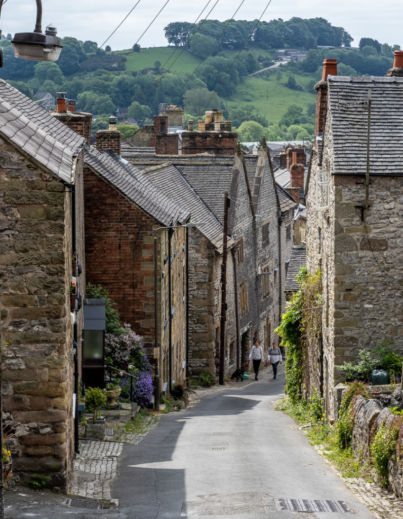
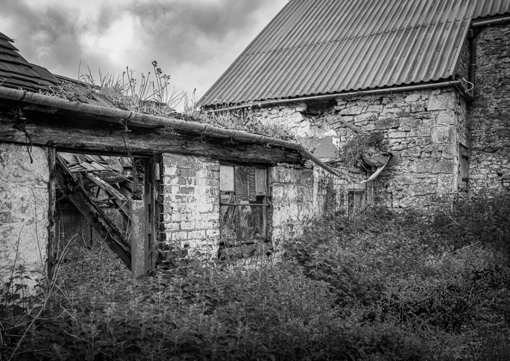
The path to Wirksworth took us through disused quarries and down steep descents to the town.
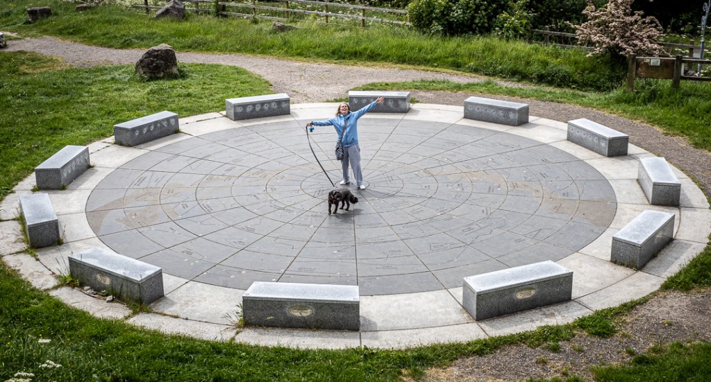
Our route also took us past the “Star Disc”, which maps-out the constellations of the night sky and is illuminated at night.
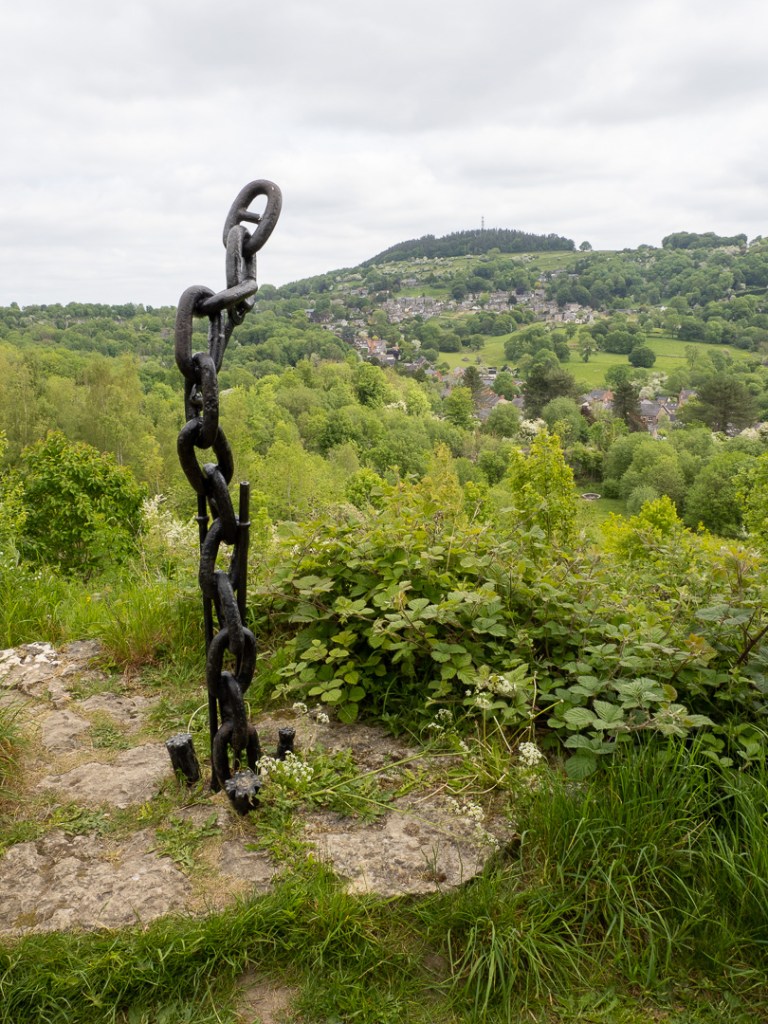
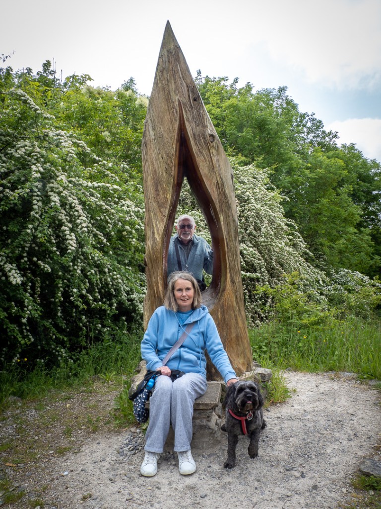
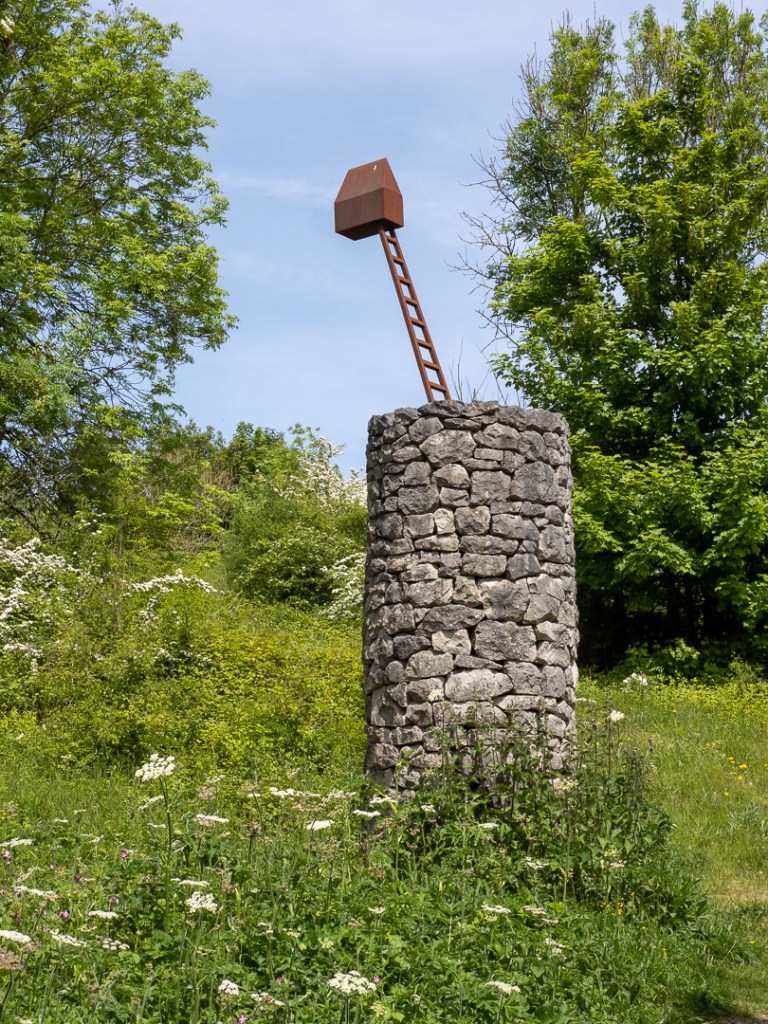
…and through a small sculpture park:
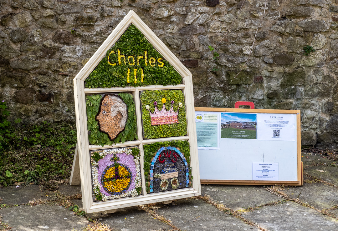
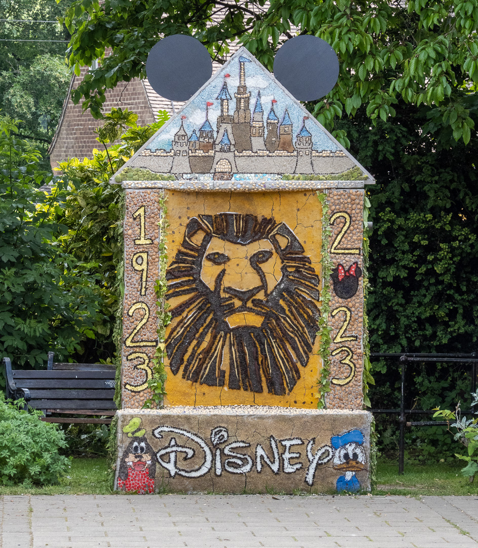
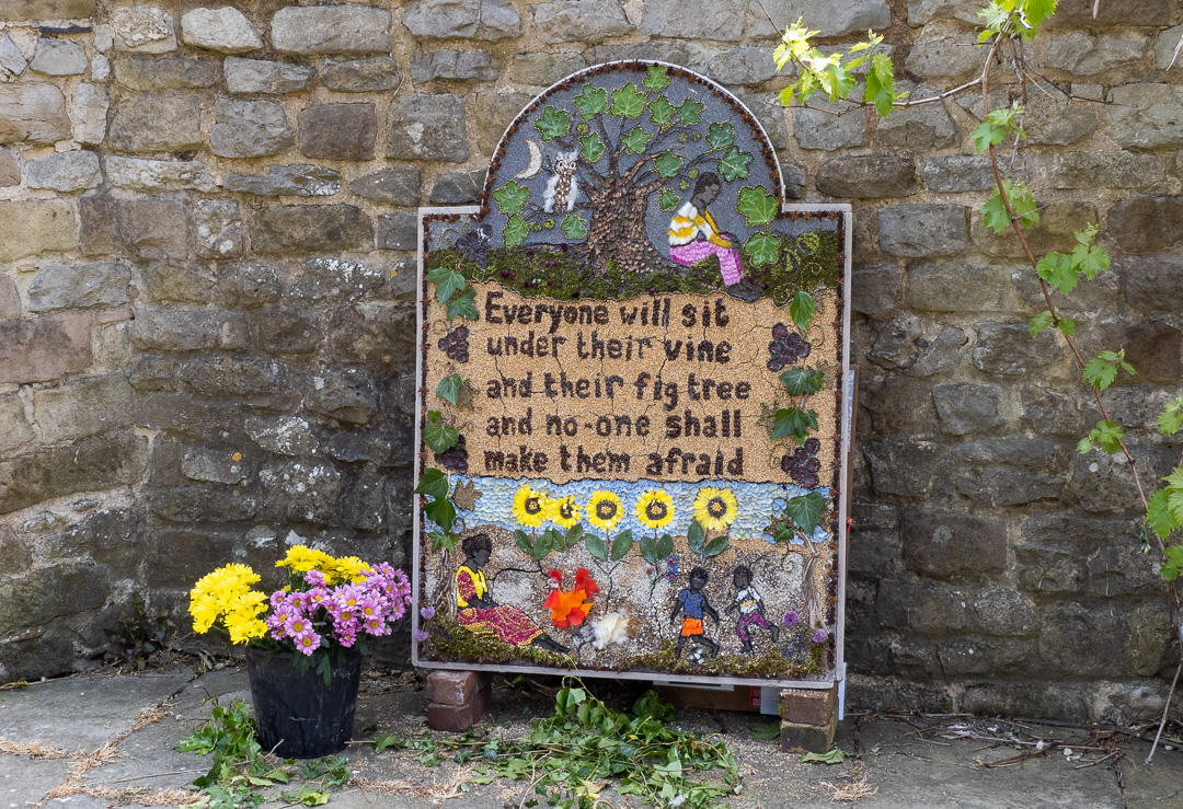
On spring bank holiday weekend, local residents of the town, traditionally dress-up “wells” around the town centre. The “wells” actually take the form of plaques, which are made up of small items to make a mosaic.
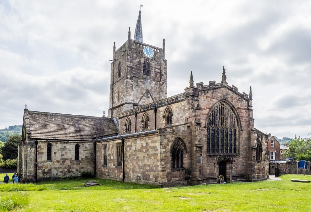
The parish church of Saint Mary the Virgin is a grade 1 listed building which mostly dates from the 13th to the 15th centuries, but there are parts surviving from Saxon time. A church has been on the site since the 8th century.
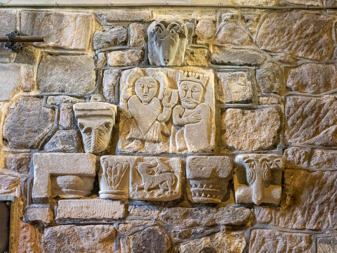
This Anglo-Saxon coffin lid was discovered under the chancel when the church was being renovated in 1820. It is now set into the wall.

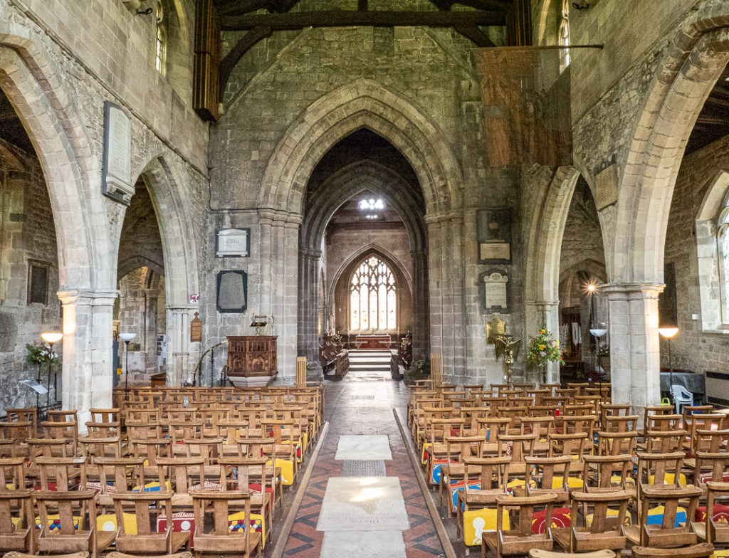
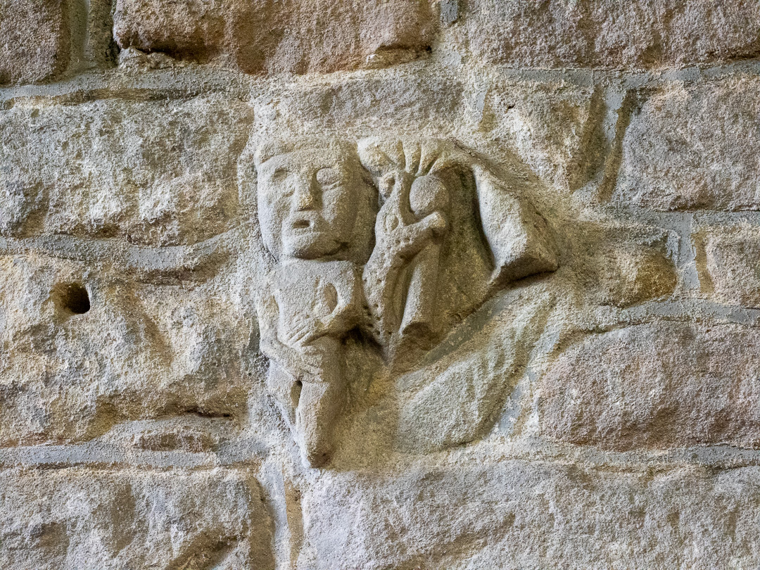
There is also a carving of a lead miner, the earliest known depiction of a miner, anywhere in the world. Known locally as “T’owd man”, it was moved from Bonsall church for safekeeping but was never returned. Bonsall church now has a replica.

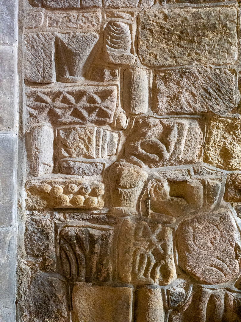
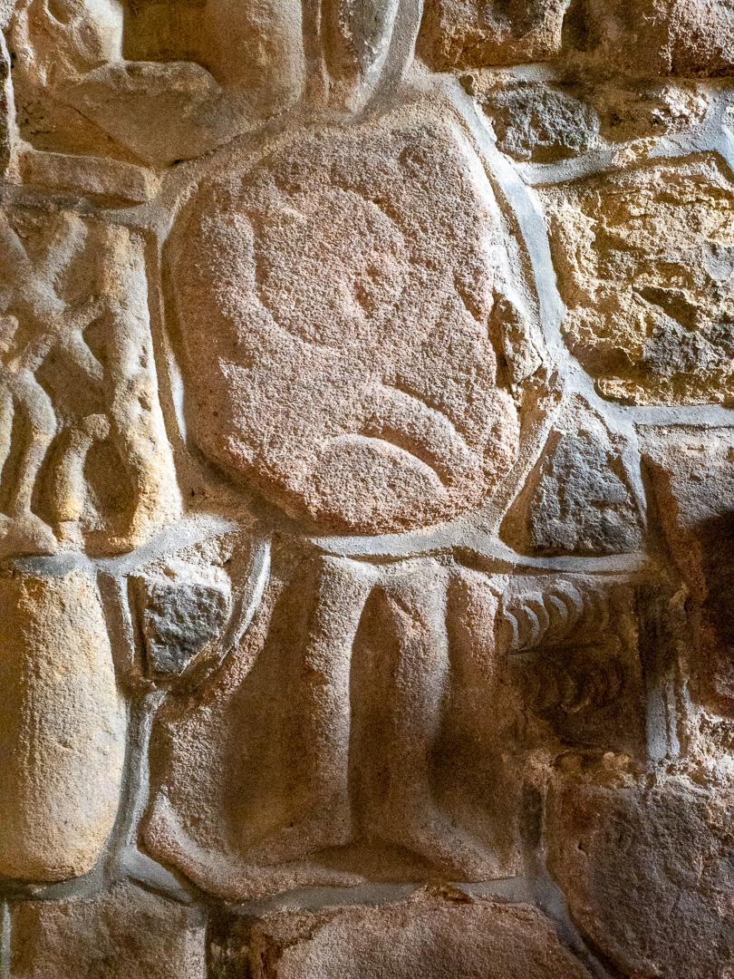
Other stone carvings are to be seen randomly set into the walls:
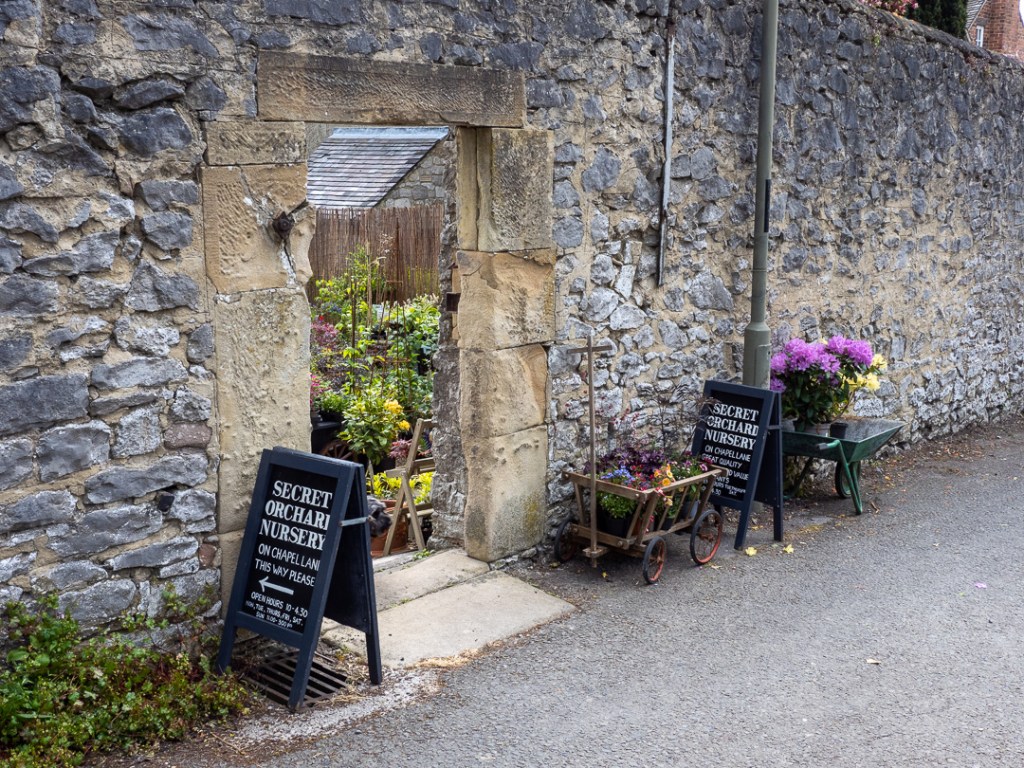
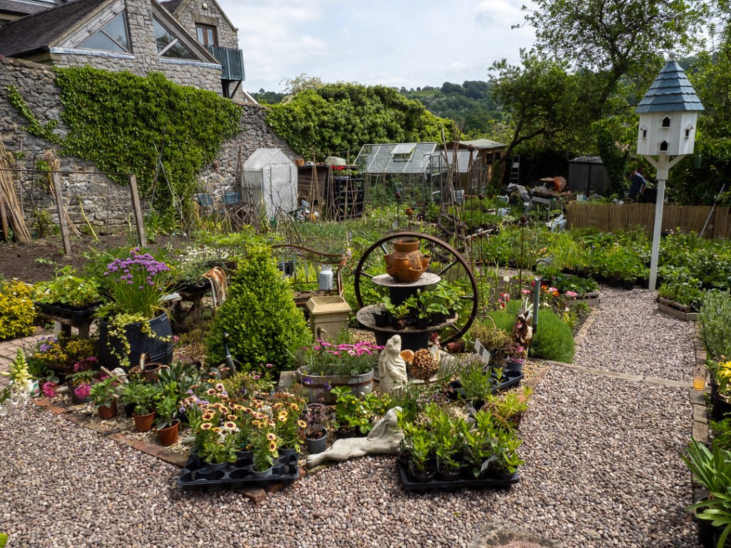
We had been told to watch out for the “Secret Garden Nursery”, which turned out to be the “Secret Orchard Nursery”, which was well worth a visit. Unfortunately as we were on foot, to carry any purchases would have been a major undertaking back up the hill to the camp-site.
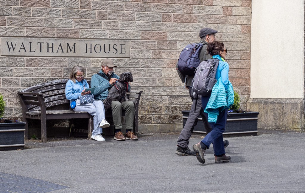
Jeeves and Michelle decided to take a breather outside Waltham House, which provides supported living accommodation for the elderly.
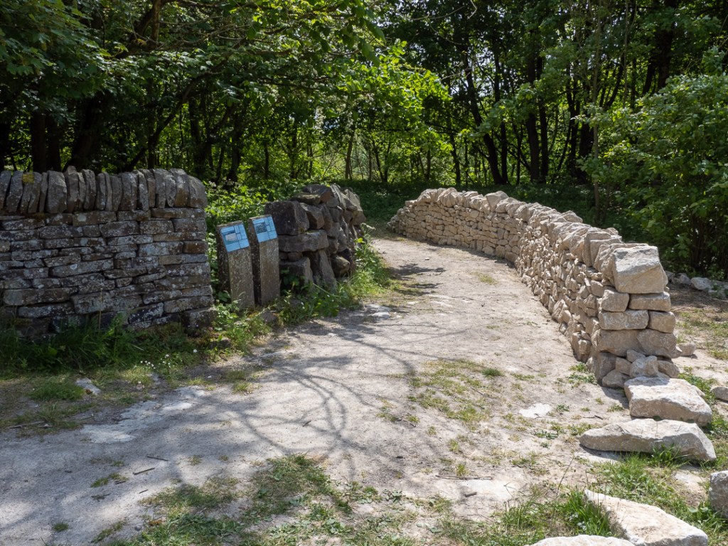
Our route back to the site was via the National Stone Centre, which was a fairly steep climb out of the town. The centre has a sculpture trail and also exhibits of the various styles of dry stone walling to be found around the country.
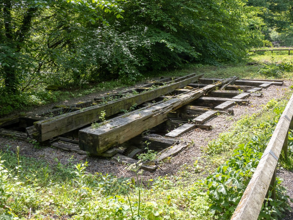
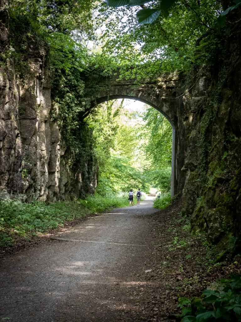
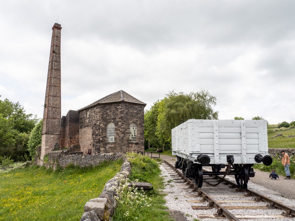
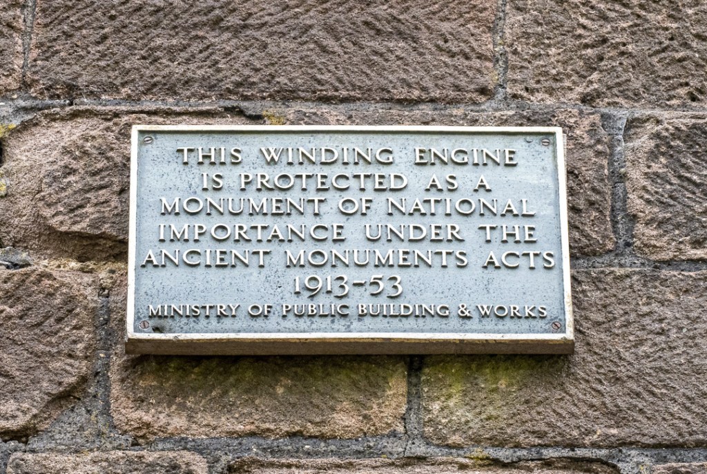
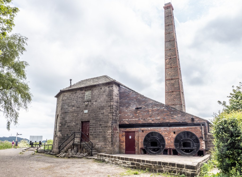
The High Peak Trail passes through immediately above the National Stone Centre and we took this path back towards the site. The trail was once a railway line and after a short way, we came to the bottom of what was once a 3/4 mile inclined plane with a 1 in 9 gradient, where a steam engine at “Middleton Top” used to bring trucks loaded with stone, one at a time up the line, using an endless steel cable around large pulleys. This was one of six such inclines on the Cromford and High Peak Railway line.
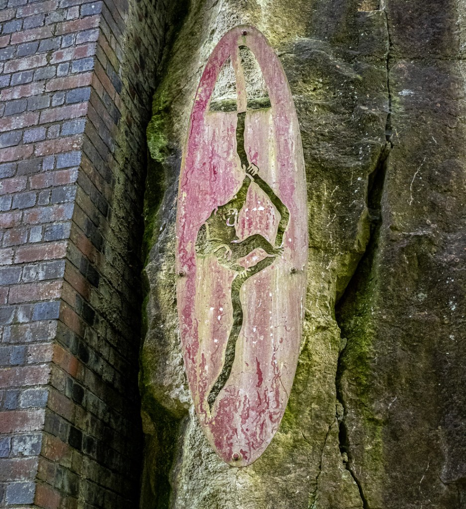
Under the bridge above, there is a metal shield on the rock-face. This depicts a monkey, hanging from a rope, lowered down to collect money from workers below, for the owner who played an accordion on the bridge. This did in fact happen, not at this bridge, but at another which is no longer standing, called “Monkey Hole” where a gap between two high outcrops of rock were bridged at a quarry.
At the top of the incline there is a railway truck and the old stationary steam engine building to be seen. On some days in the year, the steam engine can be seen working.
Middleton Moor
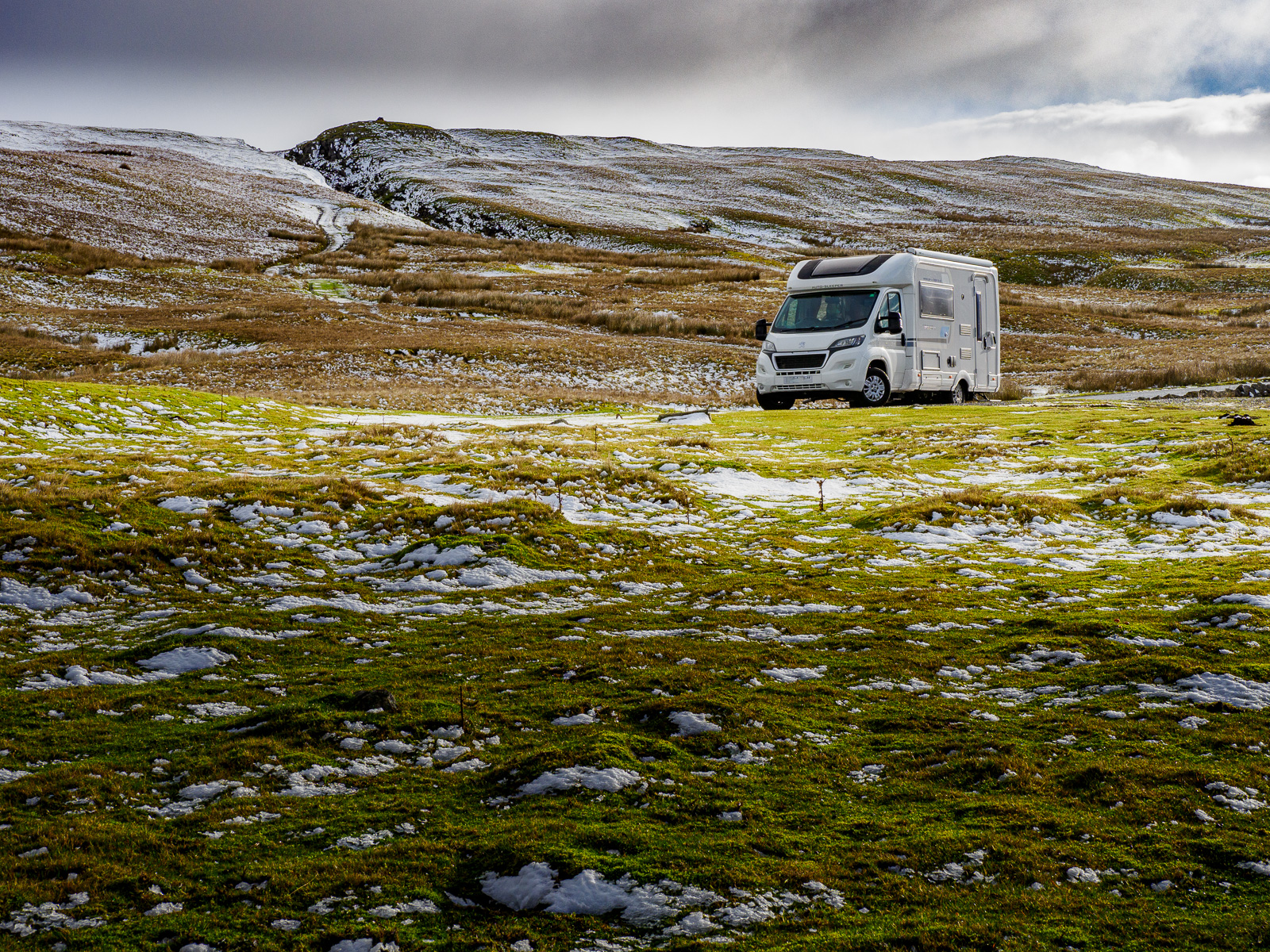
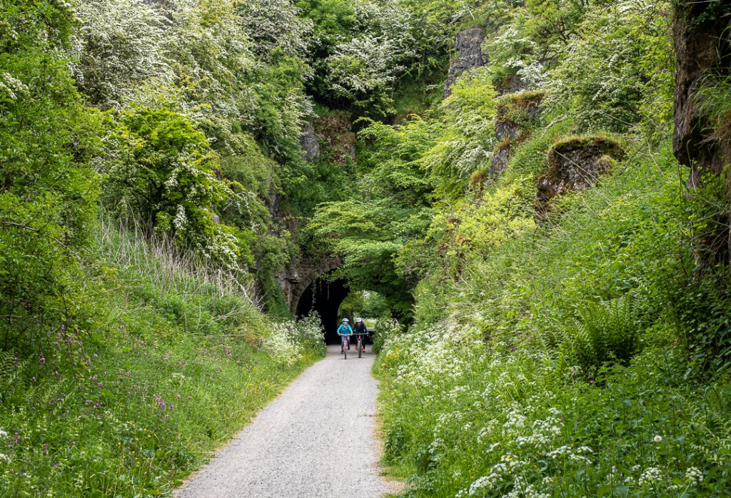
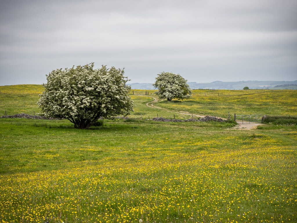
Another walk took us further along the High Peak Trail then over Middleton Moor, which was beautiful high pasture.


Thank you, Peter, another very interesting tour.
LikeLike